|
|
|
|
 |
|
|
|
Freshmap Smart Mapping
System for MAC |
|
Features include:
- Topographic mapping at a variety of scales
- Street level mapping
- Cadastral mapping - property boundaries and paper roads - at a variety of scales
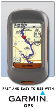
- Works with Garmin GPS
- Searchable and zoomable
- Prints with grid references
freshmap topographic and cadastral
- street mapping to topographic mapping to overview mapping
- topograhic zoom levels range from 1:1,000,000 to 1:6,250
- legal parcel descriptions
- legal roads and public land
- cadastral zoom levels range from 1:400,000 to 1:2,500
freshmap Printing
- Printing from Freshmap is easy.
- Print preview allows you to change the scale and the area without having to exit the preview screen to change it.
- Maps can be printed in a variety of scales and sizes.
- Maps can be copied for use in another program, emailed or saved to disk as a file.
freshmap Map Coverage
- Map coverage consists of all New Zealand including Stewart Island and the Chatham Islands.
- 14 levels of zoom for the topographic mapping
- 14 levels of zoom for the cadastral mapping
- Sheet numbers provided for the sheet that is being viewed.
freshmap GPS
- Waypoints can be created on the map and uploaded onto your Garmin™ GPS
- The waypoints can also be saved as an xml file for storage
- Sending waypoints to a GPS is as simple as right clicking with the mouse and choosing Export.
- Tracks can also be drawn on the map and exported to a GPS.
freshmap Search
- by coordinates
- by place name
- by road name - either rural or urban
- by user feature - such as a waypoint or track
Garmin™ GPS topomapping
- 1:50,000 topographic mapping for a colour screen Garmin™ GPS
- Mapping available only on microSD card suitable for colour screen model GPS » More
|
|
|
|
|
|
|
|
|
|
|